Anything that includes public transit routing? It doesn’t look like OSM or MapQuest include public transit, and I’m not seeing an option to use Apple Maps via the web browser on Android.
For destinations I go to regularly, I can easily pull up schedules without Google maps, but if I’m going somewhere new, Google maps greatly simplifies the process of figuring out which route(s) to take.


Some Alternatives:
Open Street Map
Apple Maps
MapQuest
Organic Maps (Mobile)
EDIT: Added Organic Maps
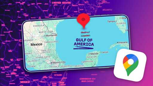
If you see the Gulf of Mexico pop up on street map your car may be floating.
Hasn’t OSM also said that they will change it once it’s properly completed?
No, Organic Maps works similarly to Google Maps and it’s all on your device and foss
Anything that includes public transit routing? It doesn’t look like OSM or MapQuest include public transit, and I’m not seeing an option to use Apple Maps via the web browser on Android.
For destinations I go to regularly, I can easily pull up schedules without Google maps, but if I’m going somewhere new, Google maps greatly simplifies the process of figuring out which route(s) to take.
You might need to add it to osm
Organic maps does